
Two new firebreak routes at Ban Pang Wae and Thung Pong
Added firebreaks of 1.48 and 2.5 kilometres along ridgelines with 26 accumulated hotspots over 3 years
Translated from Thai · reviewed by the CF team
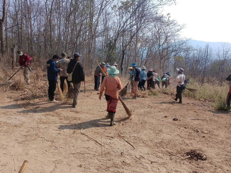
The Ban Pang Wae and Thung Pong areas recorded a total of 26 hotspots between 2022–2024. Satellite images also show signs of repeated burning over 5 years across approximately 3,900 rai. The existing firebreak lies below the boundary between the forest and the community. If a fire starts above the firebreak, it can spread rapidly uphill.
In February 2025, the Project therefore supported the creation of additional firebreaks. The first route is 1.48 kilometres long, linking the firebreak at Ban Thung Pong and following the ridgeline to prevent fires coming from the south. The second route is 2.5 kilometres long in steep, hard-to-reach terrain. It can also be used as an off-road motorcycle route to transport equipment, fuel and supplies to the worksite.