
Ban Doi Pui: Thermal drones locate fire fronts beneath smoke, reducing risks to volunteers
The Ban Doi Pui forest-firefighting community in the Doi Suthep-Pui area of Chiang Mai Province used a thermal drone, supported by Wat Pha Lat, to survey the area on 25 March 2026 and locate fire fronts hidden beneath shrubs and smoke. This helped them plan firefighting efforts more accurately and safely.
Translated from Thai · reviewed by the CF team
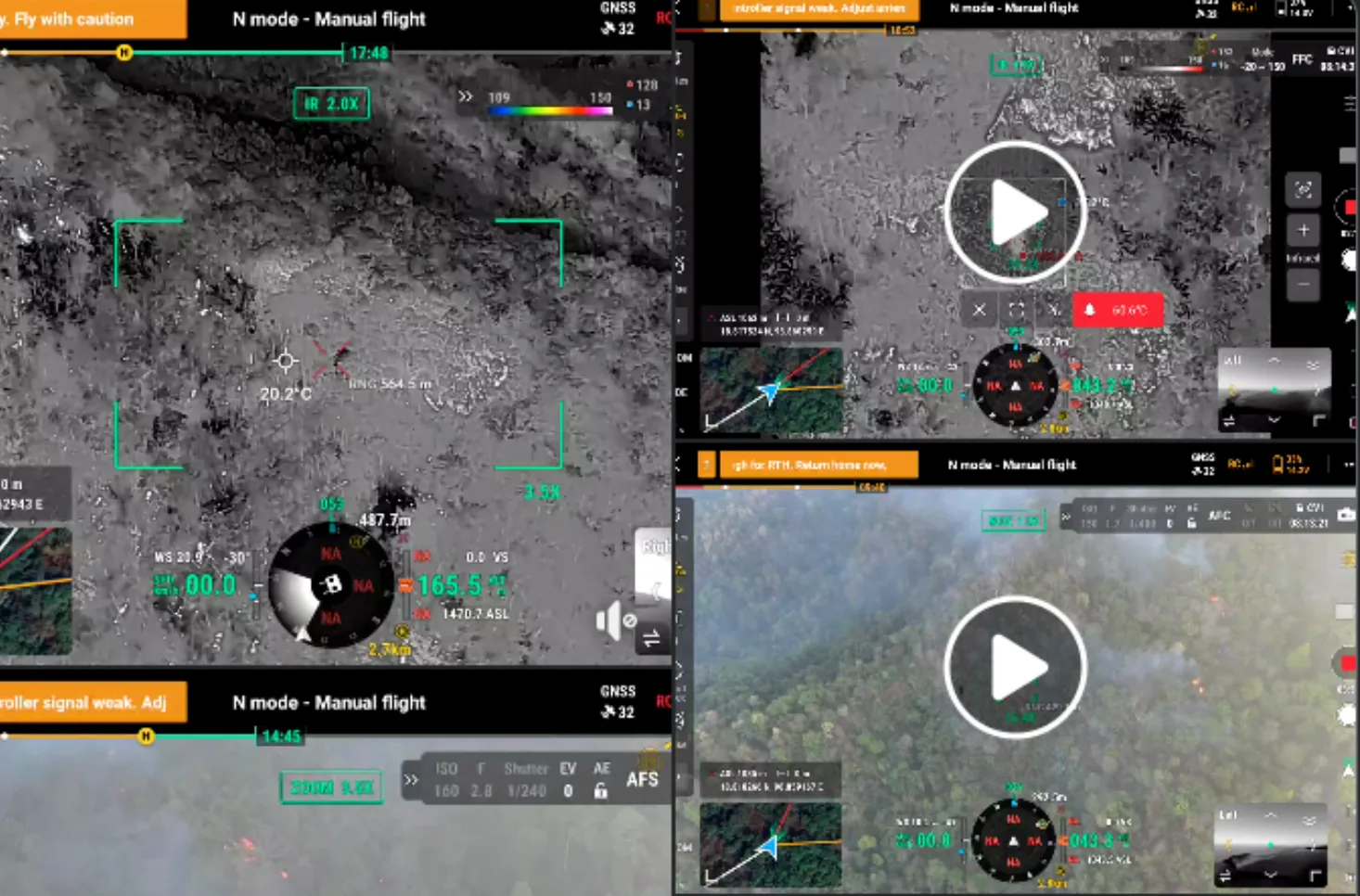
Thermal drones: eyes that see through smoke and shrubs
In the Doi Suthep-Pui area, a thermal drone supported by Wat Pha Lat was used to locate fire fronts hidden beneath dense shrubs or smoke that obscured visibility. These precise coordinates helped the response team reach the fire directly, immediately, reducing working time and saving a great deal of physical effort.
More importantly, thermal drones can detect spots where fires have not been fully extinguished, which the naked eye can easily mistake for being out. As a result, fires in many areas have flared up again the following day. On many occasions, community volunteer firefighters or government officials have been injured or killed because fires smouldering underground flared up as they approached to extinguish them. When community representatives operate the thermal drone themselves and support several villages in the Doi Suthep-Pui area, serving as a “central drone”, this creates an effective and cost-efficient model for its use.
Field notes
On 25 March 2026 at 07.30, the Ban Doi Pui forest-firefighting community deployed a drone to patrol and survey the area, assessing the forest fire situation. The aerial view made it easier to see the fire line, the direction of spread and the conditions on the ground. This confirmed that drones are another important tool the community has chosen to make forest fire management more accurate and safer.