
Mae Chaem: A subdistrict-level forest fire management planning forum using GIS maps
Leaders from 10 communities in Mae Chaem District use spatial data to plan firebreaks and transition from cornfields to agriculture that coexists with forests.
Translated from Thai · reviewed by the CF team
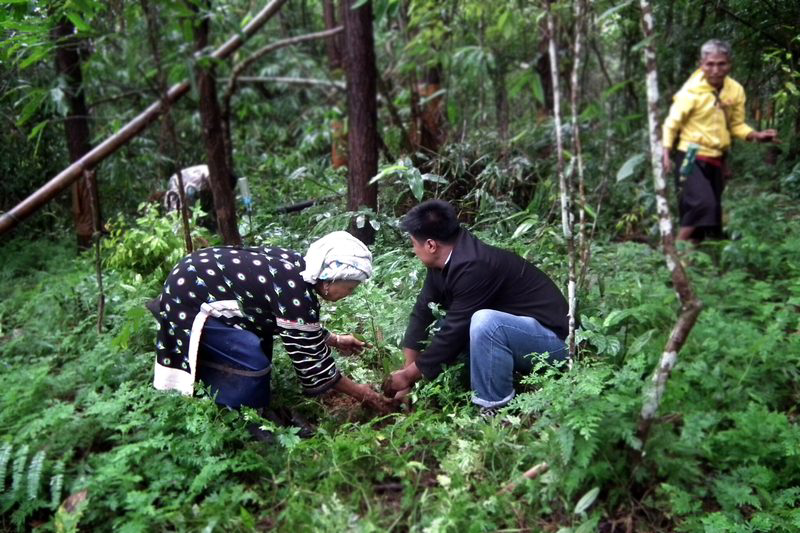
Mae Chaem was once associated with bare mountains and haze from burning cornfields. Holding joint consultation forums with communities at both village and subdistrict levels enabled leaders to analyse and plan sustainable forest fire management, using geographic information system maps to divide cultivated areas from conservation forests.
"The project’s budget supplements existing local mechanisms or forest fire management plans, which still lack budgetary support." — Sawitri Phunsukho, Phuea Kan Phatthana Thi Yangyuen Foundation, Northern Region